
Chaffey Professor Mapping the Future of Geospatial Technology Education
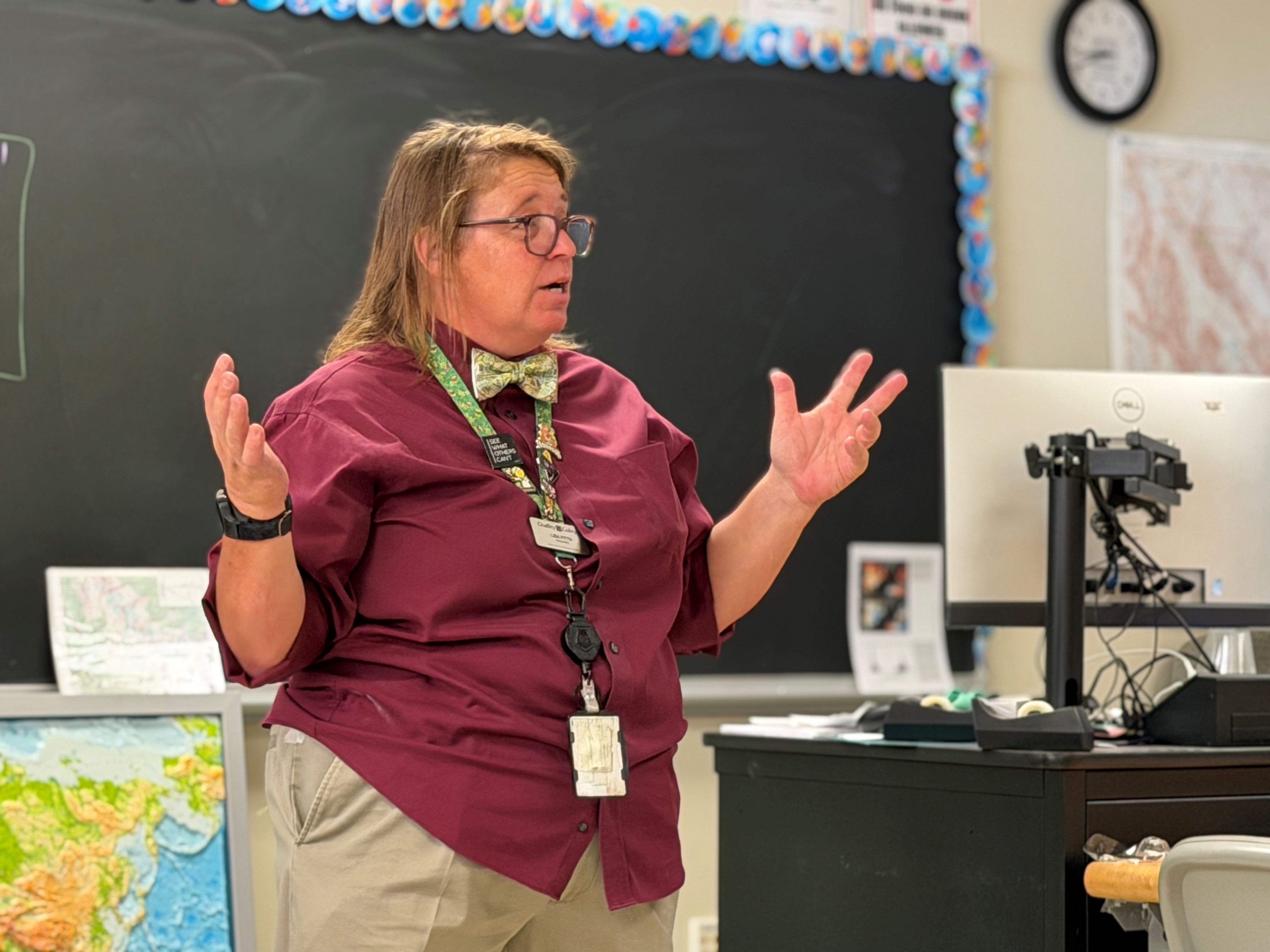
Geographic Information System technology was once associated mainly with mapmaking, but today it serves industries ranging from traffic management and disease tracking to urban planning and environmental science.
And that’s why Chaffey College Professor of Geography Lisa Pitts is leading the charge to turn it into a certificate program, and eventually a degree at Chaffey.
“I believe you can become better at whatever you want to be with geographic thinking,” she said.
Pitts, who has taught at Chaffey since 2018, launched Chaffey’s first GIS course in the 2024-2025 academic year. But it took some convincing to get students to sign up.
The professor – known for her signature bow ties and costumes – dressed as a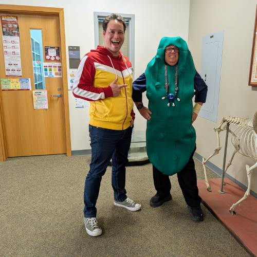 pickle at a campus fair to show students she was “in a pickle” with enrollment.
“I went from having eight students to 24,” she said.
Chaffey Interim Dean of Science, Technology, Engineering and Mathematics Jeff Laguna commended Pitts’ hard work and commitment to developing the new program. An advisory committee – comprised of GIS professionals, including those from Redlands-based Esri and the city of Rancho Cucamonga – has been assisting her by providing industry knowledge to give students the most up-to-date knowledge.
“Bringing Geographic Information Systems to Chaffey College provides our students with exciting and promising opportunities, and Professor Pitts has been at the forefront of making it happen,” Laguna said.
Careers requiring GIS knowledge, such as cartographers and photogrammetrists, have a median salary of about $81,000 and are expected to grow by seven percent through 2035, according to the Bureau of Labor Statistics.
Pitts earned a bachelor’s degree in geography, with an emphasis on GIS, from Cal Poly Pomona and a master’s degree in geography from Cal State Long Beach. Her master’s thesis focused on introducing GIS education to high school classrooms to expose students to a high-demand field, while helping them develop spatial thinking skills.
She landed a job as a teacher with the San Gabriel Valley Regional Occupational Program, where she developed an Advanced Placement human geography course and taught GIS classes, as well as computer literacy and AutoCAD.
Pitts initially planned on focusing her career on K-12 teaching, but all that changed once she began teaching as an adjunct professor for several community colleges — including Chaffey.
She taught Earth science in the California Institution for Women and at the Rancho Cucamonga campus, and decided Chaffey was her home.
“The student body here is just top notch,” she said.
She wore bow ties to provide contrast to her high school business ties.
“There’s something to be said about how people dress and how you perceive them,” she said. “I want to be taken seriously, even if I’m the goofiest person in the room.”
Pitts is designing the GIS program in a way that benefits all majors. Each student will be assigned a capstone project that connects GIS to their major, whether it’s business, public health, administration of justice or science. Her goal is to launch the program in fall 2027.
“Even with the advent of AI, geospatial technology remains a growing field,” Pitts said. “The number of people needed in the field is expected to double in the next 20 years the technology can be applied in so many different areas,” she said.
